Research blog · Image provenance
Wiki Culverts: Invisible Infrastructure / Visible Trail
From a field survey of 1,200 culverts in northern Vermont to the afterlife of two of its photographs on Wikipedia — traced through reverse image search across hundreds of sites.
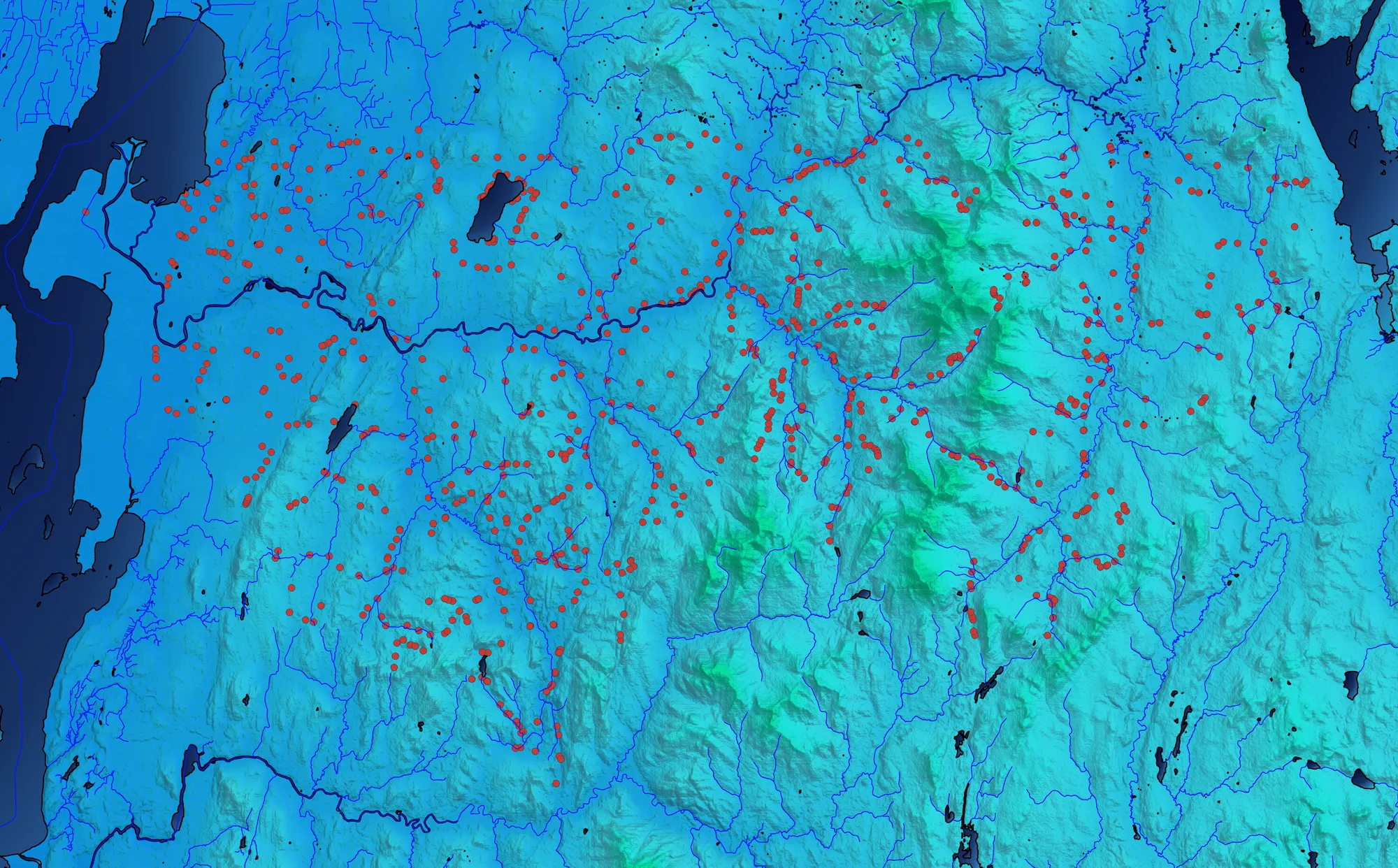
Culverts are the pipes and channels that carry water under roads. They are built for drainage, yet they connect ecosystems — and most of the life that depends on them goes unnoticed.
The project starts from a geomorphic survey of the Missisquoi water basin in northern Vermont in 2010–11, in which a small team measured, observed and photographed roughly 1,200 culverts. The survey found that some culverts did not drain properly and most could not support the flow of aquatic life; its lasting result was digital infrastructure for checking culvert status, now vtculverts.org.
Two of the survey photographs were uploaded to Wikipedia's "culvert" article. Since then they have been reused in hundreds of articles, often far from their origin. Using reverse image search, the blog follows that trail — an image of a landslide becoming an illustration of "obstacle" in an article on religious life — and asks what happens when a citizen's photograph becomes a frictionless, commodified object online. Along the way it looks at conflict-of-interest editing on Wikipedia, the history of culvert design under climate change, adaptive management, and the politics of water infrastructure from Washington's salmon rulings to New York's reservoirs.