Measurement study · GIS
LiDaR ShoreLINE
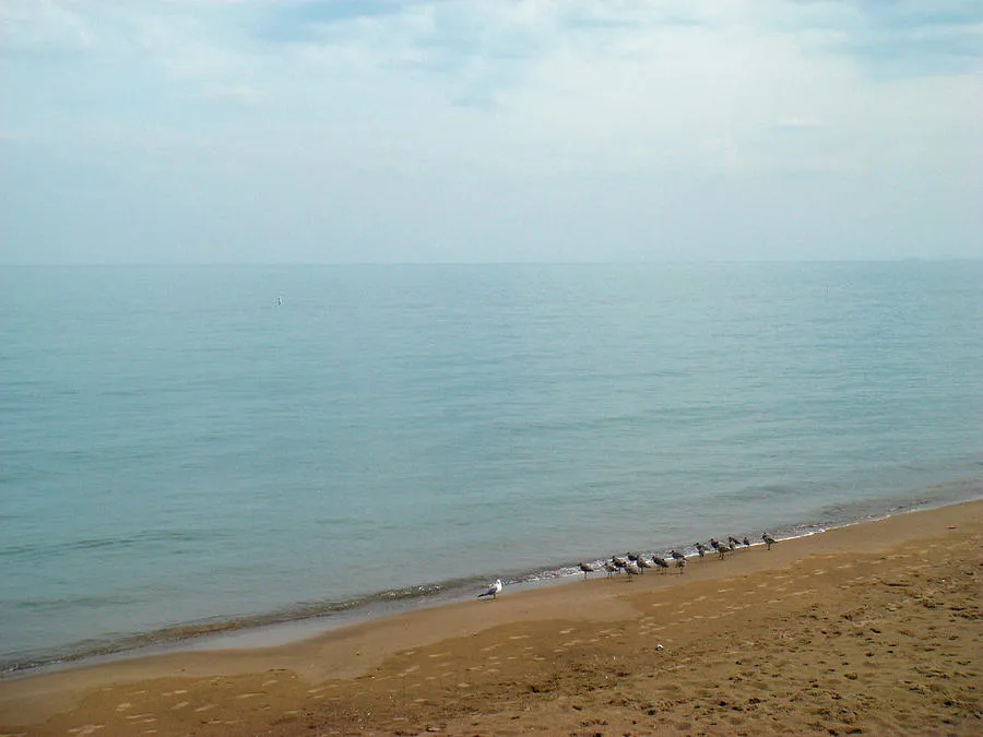
A study of the coastline paradox — the same shore measured with LiDAR, with string and sticks, and from archival images, each giving a different length.
The length of a coastline depends on the length of the ruler. This study measures the same shore three ways — GIS analysis of LiDAR data, a string-and-stick survey on the ground, and archival imagery — to set the methods and their disagreements side by side.