Web-based 3D map · Open geodata
Meandering Rio Commons
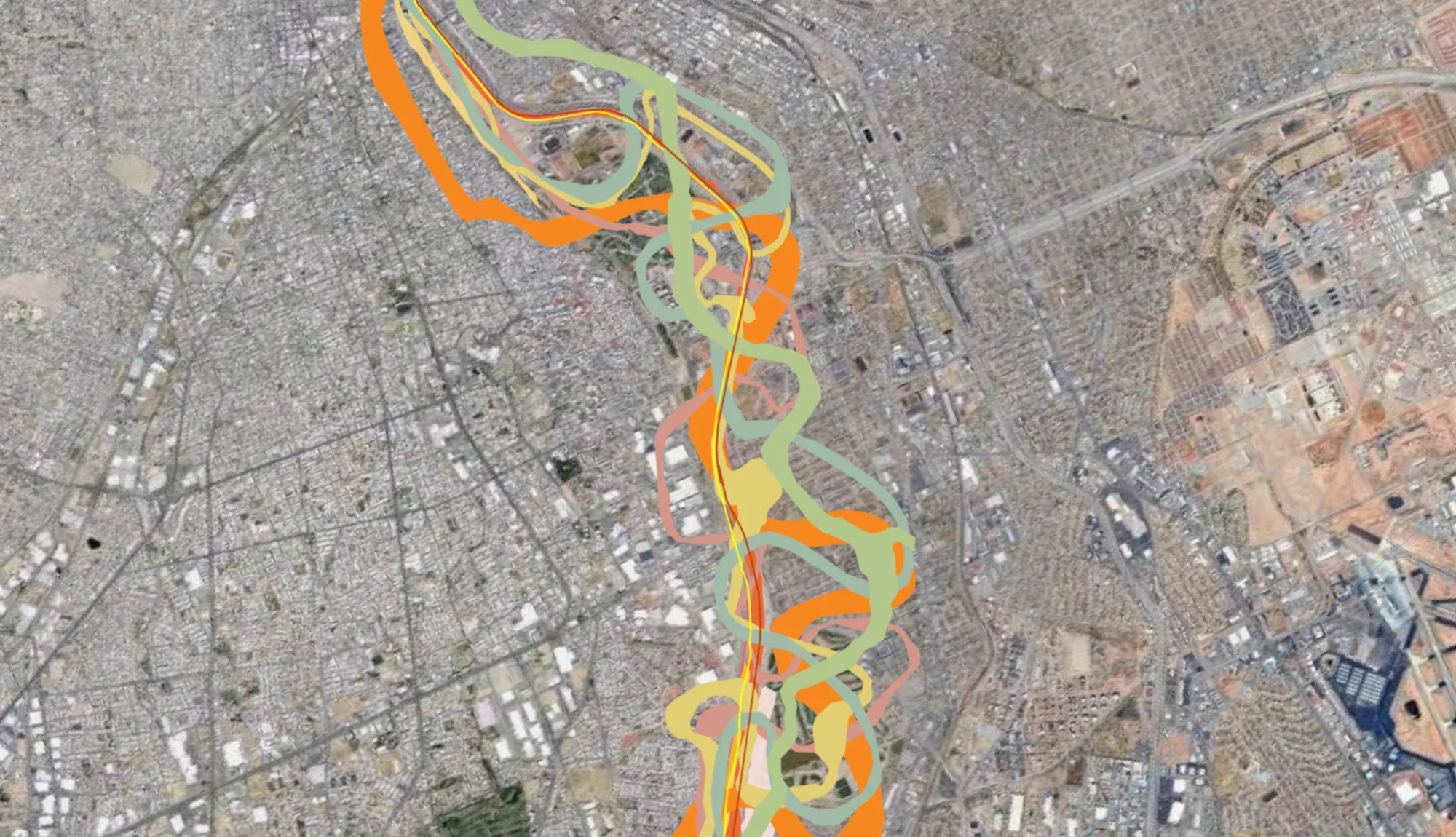
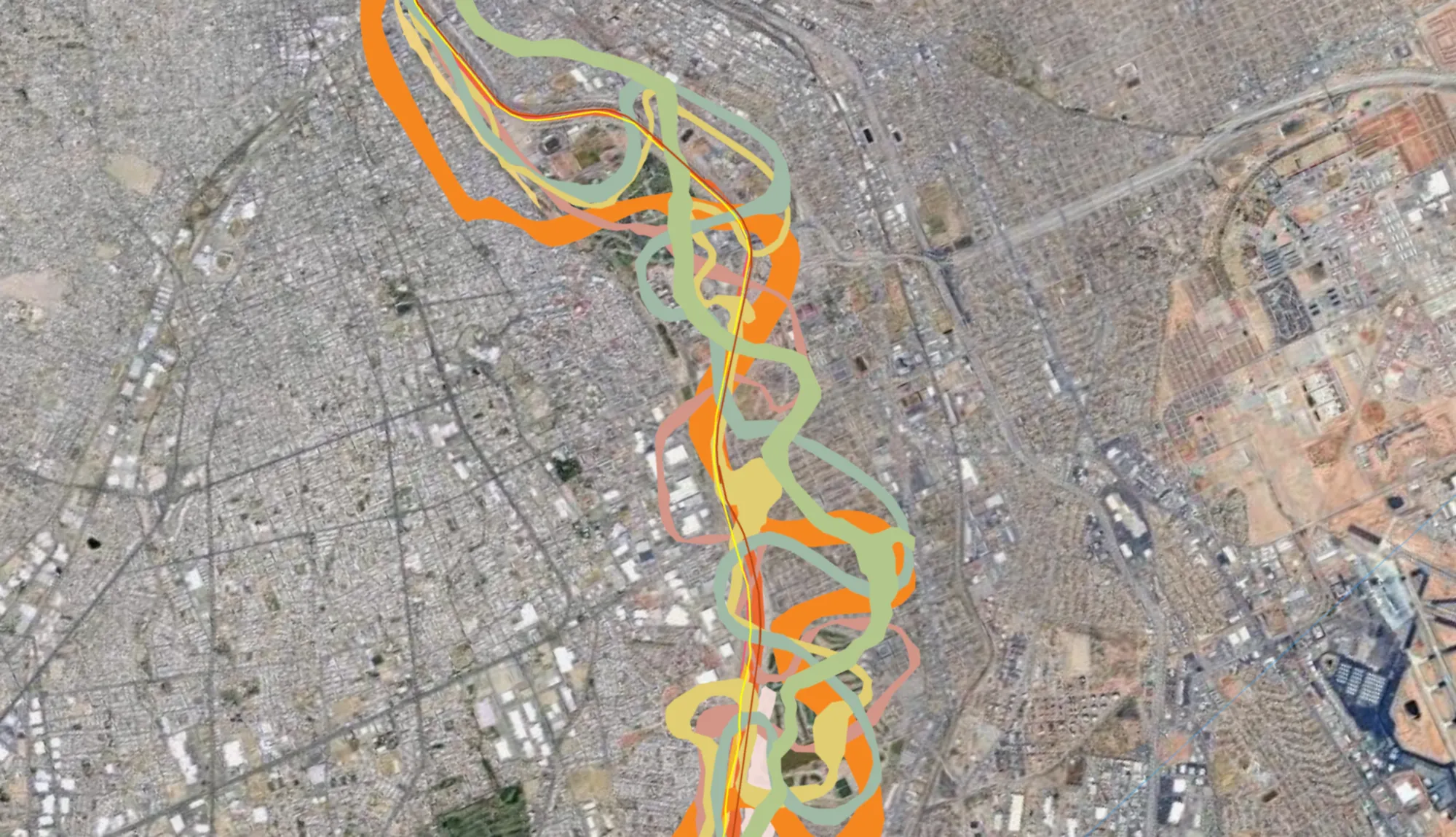
An interactive 3D map of the historical meanders of the Rio Grande / Río Bravo along the US–Mexico border, with stories contributed by people who live along the river.
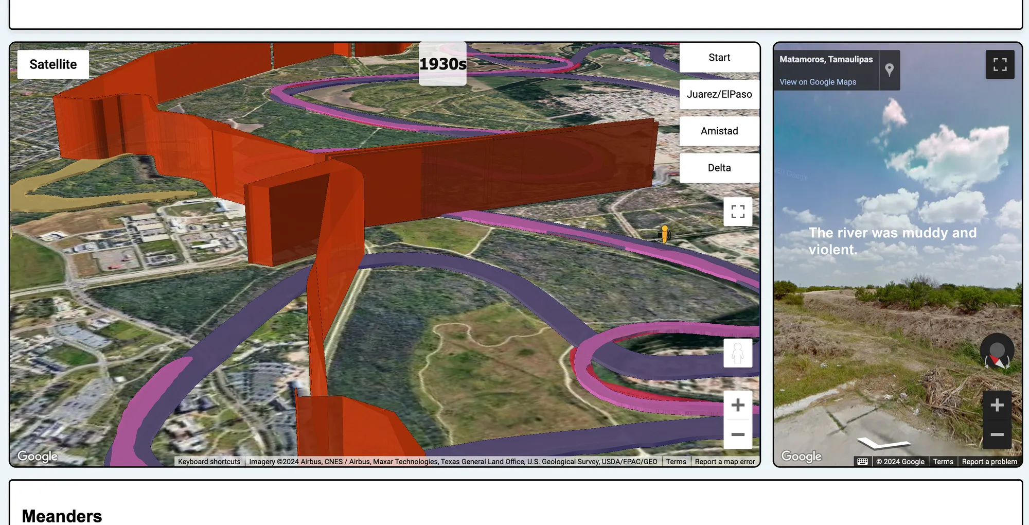
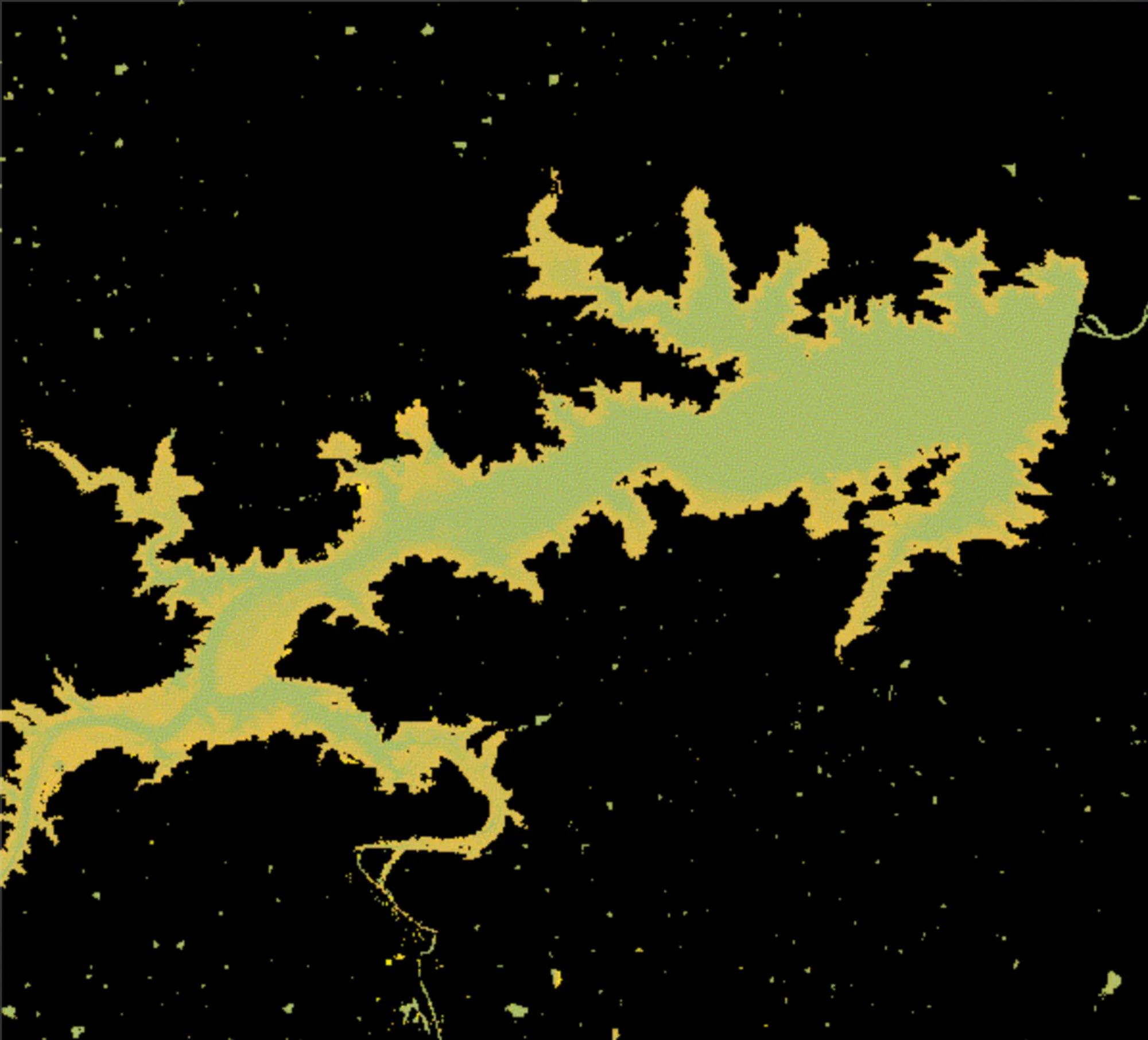
A web-based 3D repository built from materials developed during Land Arts of the American West's 2020 Adaptation program. It began as an interpretation of the historical meanders of the Rio Grande / Río Bravo, where the river forms the US–Mexico border, within a larger effort with Texas Tech University, Marfa Books, Zoe Leonard Studio and a wide research network (original prospectus).
The site is an interactive, user-contributed database of stories from the river. Each story is placed where it was told, against the river's shifting channels, and the underlying geographic data is published as open GeoJSON.